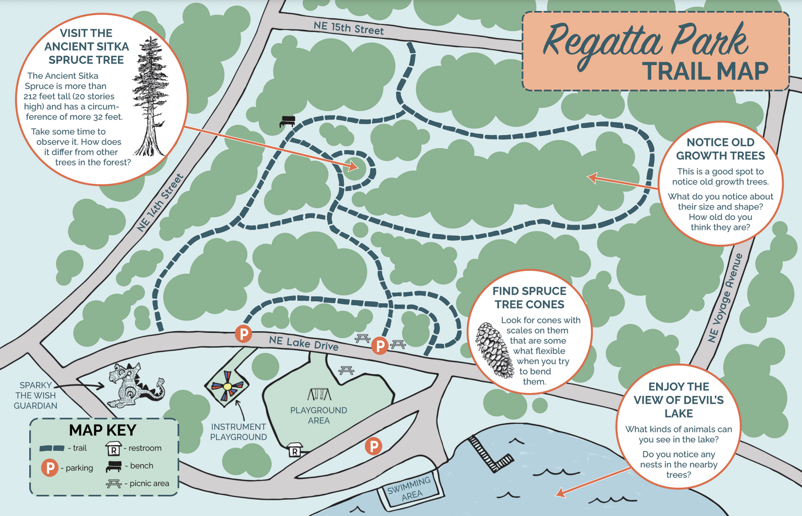
U.S. Fish and Wildlife: Explore Your Refuge Trail Map Series
We are thrilled to introduce the completion of a major educational project for U.S. Fish & Wildlife focusing on the four urban National Wildlife Refuges in the Portland, Oregon, metro region. This project involved the completion of four family centered trail maps, each featuring major restoration work; fish, birds, and wildlife information; trail suggestions; and hands on learning material.
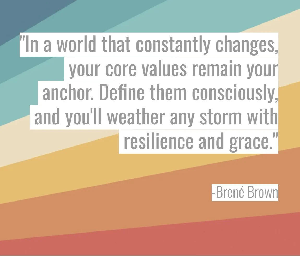
Workshop: Value Blueprint - Mapping Your Path to Meaningful Work
“The Value Blueprint: Mapping Your Path to Meaningful Work” is a workshop designed for educational, cultural, environmental, and parks & recreational professionals to help uncover and articulate personal core values, learn tools to leverage those values, and to strategically plan ahead. It is held as both an online workshop for individual professionals, and as an all-day or two-day workshop for teams and organizations interested in developing and/or clarifying their values.
Seattle Children Museum Nature Explorers Booklet: Winter Edition
We are excited to share the launch of the Seattle Children’s Museum Nature Explorers Guide, winter edition! Learn more and see sample pages from this booklet, available at the museum for free during your visit.
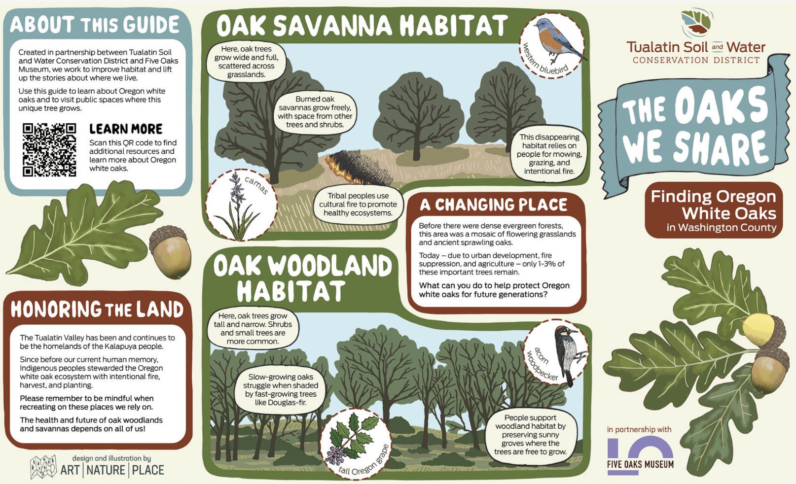
“The Oaks We Share” Guide
Learn more about the “The Oaks We Share: Finding Oregon White Oaks in Washington County,” an educational guide created for Tualatin Soil and Water Conservation District in association with the Five Oaks Museum.
The guide was created as an entry point to learning about Oregon White Oaks in Washington County, Oregon, their common habitats, and where and how to find them. The guide is available in English and Spanish.
HOPE Walks Trail Maps: Tualatin River National Wildlife Refuge
Learn more about the Tualatin River National Wildlife Refuge Trail Map, part of the HOPE Walks Trail Maps series, a set of maps commissioned by Hope Dementia Support in partnership with the Alzheimers Association for public use, with a special focus on aging populations, including those with dementia and those who care for them.
Seattle Children Museum Nature Explorers Booklet: Summer Edition
We are excited to share the launch of the Seattle Children’s Museum Nature Explorers Guide, summer edition! Learn more and see sample pages from this booklet, available at the museum for free during your visit.
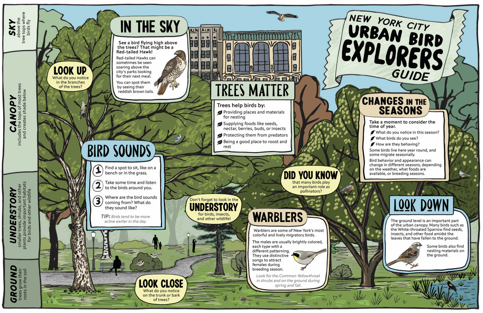
New York City Urban Bird Explorers Guide
Learn more about the New York City Urban Bird Explorers Guide, an educational guide created with the support of NYC based nonprofit Local Nature Lab in partnership with several other New York nonprofits.
The guide was created as an entry point to birding in the area, with some basic bird and tree identification information, guided prompts for exploring the urban canopy, and fun and useful information that goes a little deeper on some of NYC's most interesting bird inhabitants.
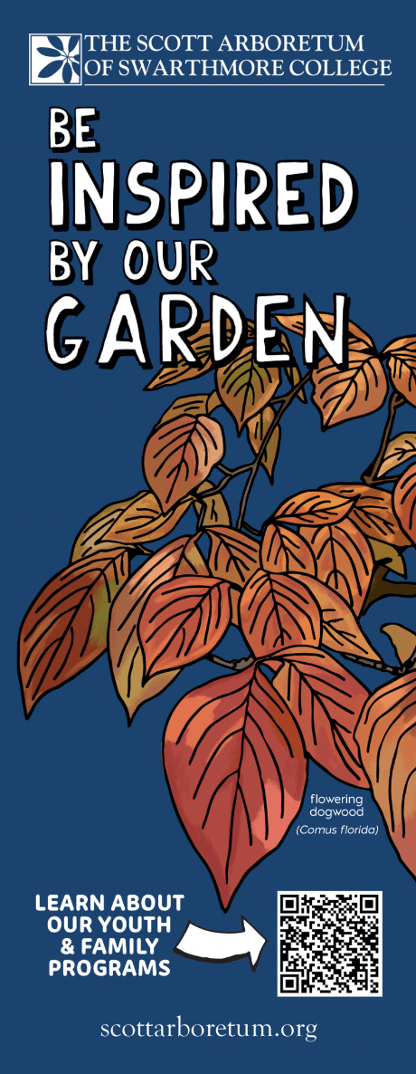
Scott Arboretum: “Be Inspired” Seasonal Bookmark Series
We are excited to share the launch of a project with Scott Arboretum at Swarthmore College in Philadelphia. The “Be Inspired” series is a set of four seasonal book marks designed for display in public libraries in Philadelphia.
School Partnership: Rio del STEAM School 3rd Graders
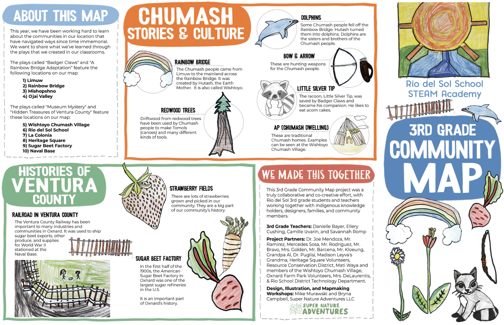
Learn more about our 2022-23 partnership with the 3rd grade classes at Rio del Sol STEAM Academy in Oxnard, California, culminating in a co-created story telling map about the Indigenous and Immigrant histories of Oxnard and Ventura County, California.
Rice Northwest Museum of Rocks and Minerals: Trail Map, Geological Timeline, Activity Sheets, and Interpretive Signs
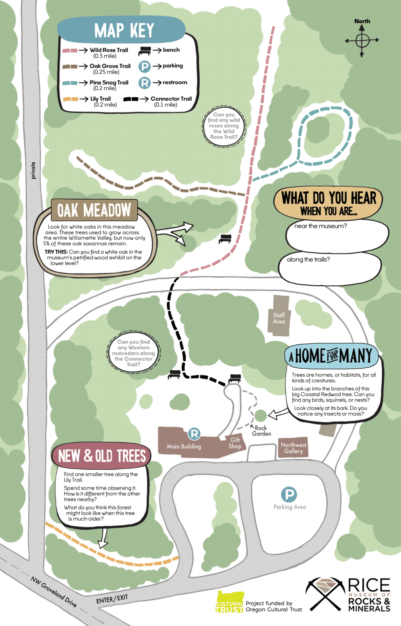
We are thrilled to share the launch of a major educational and interpretive project for Rice Northwest Museum of Rocks & Minerals. Located in Hillsboro, Oregon, Rice NW Museum holds a major collection of rocks, gems, minerals, and fossils. The site, a 1952 home constructed by the Rice family, with more than 20 acres of forested land, is also on the National Register of Historic Places. This project included a family trail map for a new set of trails on the grounds, interpretative signs for the trails, a geological timeline, and activity sheets.
Great River Greenways Adventure Map Series
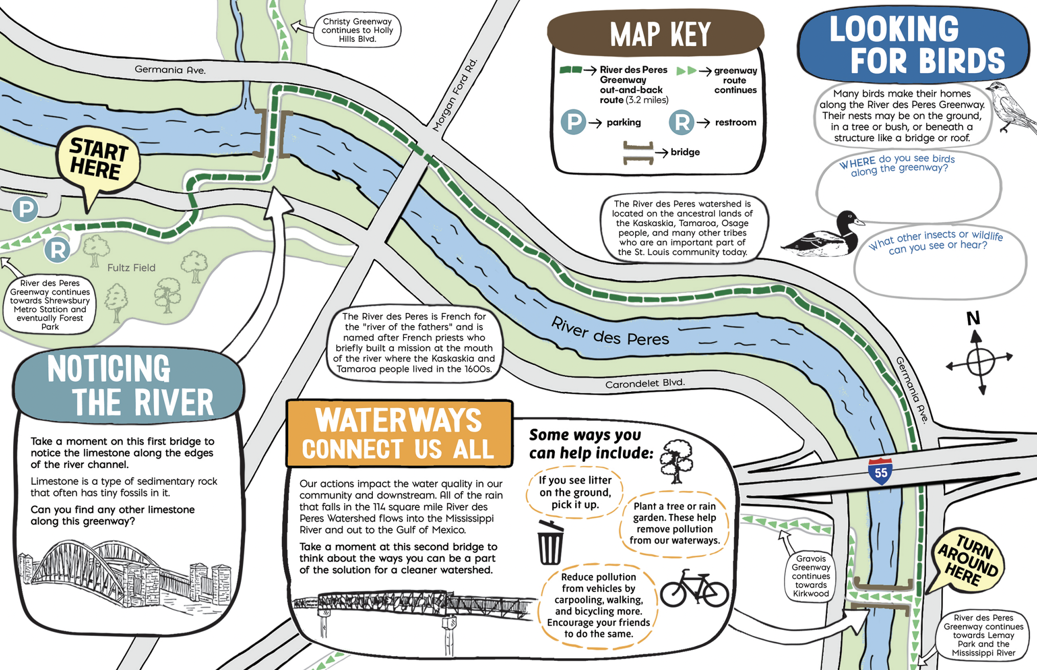
We are excited to share the launch of two family trail maps for Great Rivers Greenway in St Louis, Missouri.
Field Guide: Vancouver Land Bridge
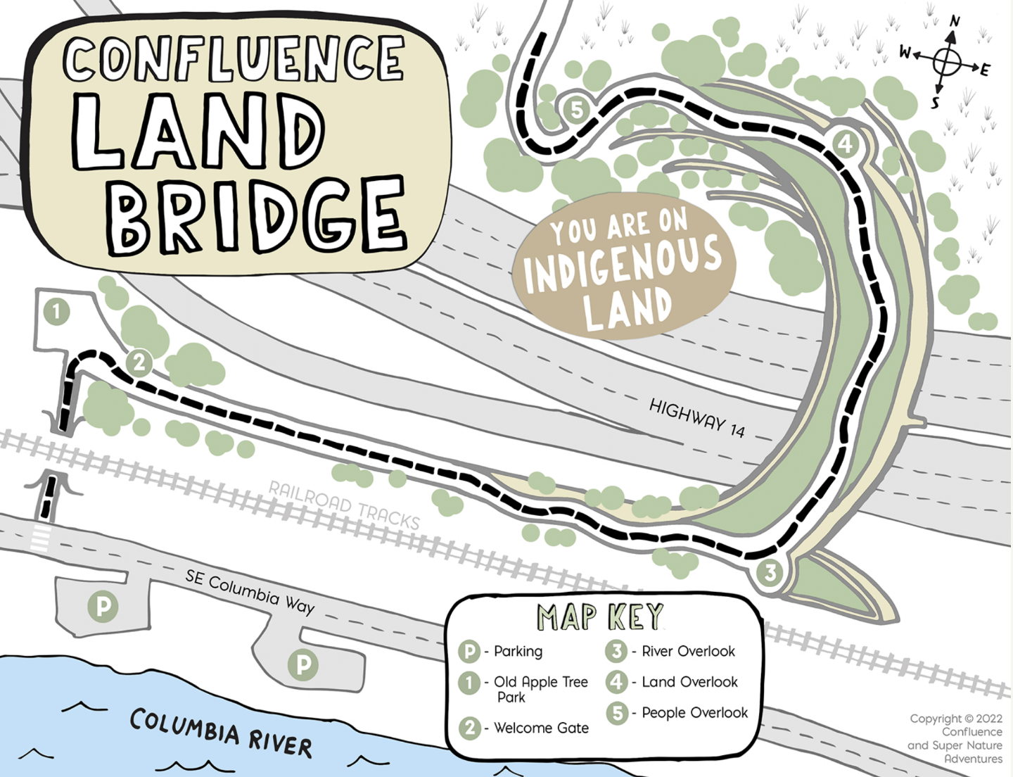
We are excited to share the launch of a family centered Field Guide for the Confluence Vancouver Land Bridge, as part of an ongoing partnership on educational material for Confluence art landscape sites along the Columbia River system. This Field Guide features the Land Bridge, designed by Johnpaul Jones, with sculptures by artist Lillian Pitt (Wasco, Yakima, Warm Springs), located in Vancouver, WA.
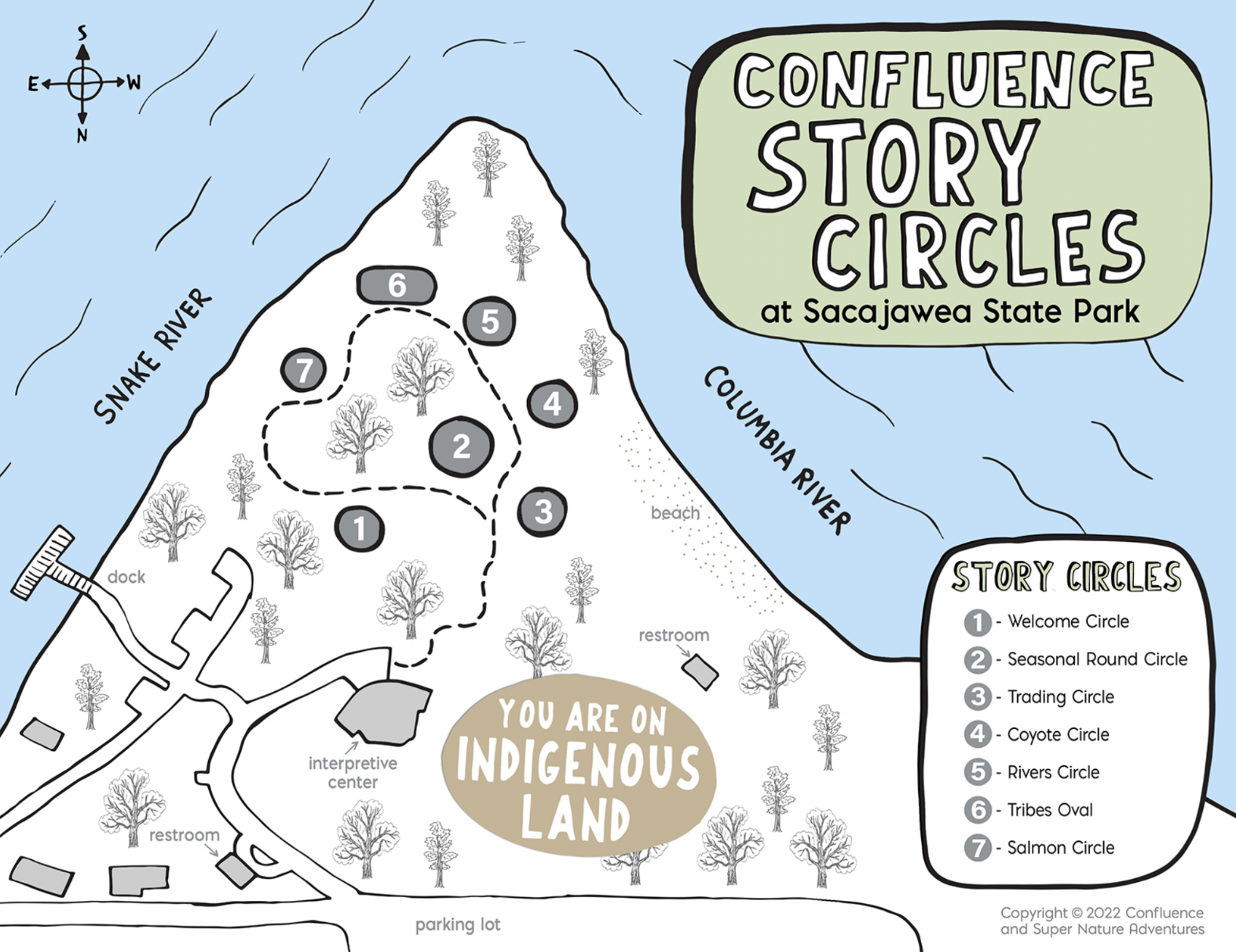
Field Guide: Confluence Story Circles
We are excited to share the launch of a family centered Field Guide for the Confluence Story Circles Site as part of an ongoing partnership on educational material for Confluence art landscape sites along the Columbia River system. Confluence is a nonprofit with the mission of connecting folks to the history, living cultures, and ecology of the Columbia River system through Indigenous voices. This Field Guides feature the Story Circles, by Maya Linn, at the confluence of the Snake snd Columbia Rivers, at Sacajawea State Park in Pasco, WA.
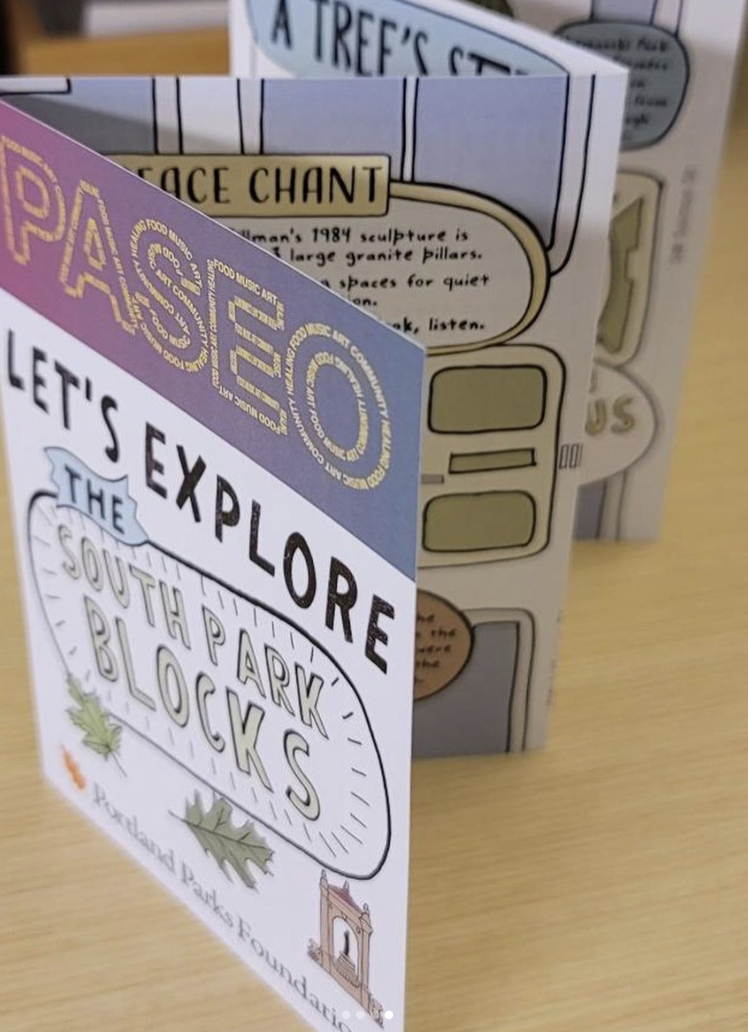
PASEO Festival 2022: Explore the South Park Blocks
Learn more about “Explore the South Parks Blocks,” a family map and activity guide created for the 2022 PASEO festival in downtown Portland, designed celebrate the art and nature spaces of Portland’s south park blocks. This project was funded by the Portland Parks Foundation.
Forest Park Nature Adventure Activity Guide
Learn more about the “Forest Park Nature Adventure,” project, a family-centered activity guide created and designed for Forest Park Conservancy, for use throughout Forest Park, located in Portland, Oregon.
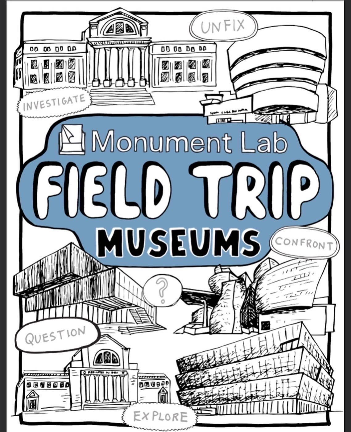
Monument Lab Field Trip: Museums
Introducing the Monument Lab Field Trip for museums, a hands-on activity guide created in partnership with Philadelphia based public art and history non-profit, Monument Lab as a tool to explore, engage with, question, and examine museums.
Lincoln City Explorers Program: Trail Maps, Activity Booklet, and Activity Sheets
Learn more about the Lincoln City Explorers, a large-scale multi-faceted project for learning and outreach at seven trail in Lincoln City, Oregon.
HOPE Walks Trail Maps: Columbia Springs Natural Area
Learn more about the Columbia Springs Map, part of the HOPE Walks Trail Maps series, a set of maps commissioned by Hope Dementia Support in partnership with the Area Agency on Aging & Disabilities of Southwest Washington for public use, with a special focus on aging populations, including those with dementia and those who care for them.


